Planwise
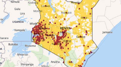
Identify where help is needed most
To deliver transparent, data-driven analysis for decision makers, PlanWise applies algorithms and geospatial optimization techniques to existing data on population, road networks and resources, so planners can better understand the unmet needs of their constituents. PlanWise’s use of special algorithms to predict population based impact of allocations eliminates potential bias and provides data and evidence for humanitarian and development professionals.

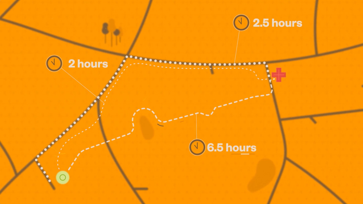
Visualize coverage by travel time
Set your geographic area, population subsets and parameters for travel time to visualize coverage.

Utilize Existing Data Sets
Upload CSV or other data files and create preloaded population maps to work from

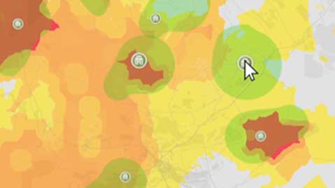
Identify most impactful interventions
Increase service delivery coverage and capacity with industry best-practice modeling and optimization techniques
Planning Maternal & Child Health with Concern Worldwide
InSTEDD developed Planwise with Concern Worldwide to increase access to critical life saving resources for pregnant and expecting mothers. Learn More
Africa Laboratory Mapping Program with ASLM
InSTEDD is working with the Africa Society of Laboratory Management to use Planwise to improve access to diagnostic and testing services in Africa. Learn More
WorldPop
Planwise leverages existing WorldPop datasets. Learn about WorldPop methods to data collection
Missing Maps
For areas of the world without updated reliable street maps, OSM can help fill the gap. Read more about the Missing Maps project


